DeDuCE: New data to inform action against commodity-driven deforestation
A new global dataset on commodity-driven deforestation called DeDuCE is helping governments, companies and civil society assess the deforestation exposure of producer and consumer countries. Its use reveals six insights to inform the transition to zero-deforestation trade in beef, soy, palm oil and other important commodities.
A new global dataset, from the DeDuCE (Deforestation Driver and Carbon Emission) model developed at Chalmers University of Technology, a Trase science partner, provides country-level estimates of agriculture and forestry-driven deforestation and carbon emissions from 2001–2022 for more than 180 commodities. This dataset is unique in its global coverage and provides a critical piece of the evidence needed to inform and monitor the impact of regulatory and voluntary initiatives that aim to eliminate commodity-driven deforestation. It builds on and improves the previous Pendrill et al. 2022 dataset. The main differences between the Pendrill and DeDuCE data are the extension beyond the tropics to cover global deforestation, the integration of high-resolution spatio-temporal data on commodity and land-use extent, where available, and the quality assessment of each country-commodity deforestation estimate (represented as Quality Index in the DeDuCE dataset).
The DeDuCE and Pendrill datasets are already being used by industry and governments to better understand their risks and impacts. One important application is assessing and benchmarking the commodity deforestation risk of producer countries. Examples include the benchmarking system in the EU deforestation regulation (EUDR) and the use of risk benchmarking by the Consumer Goods Forum Forest Positive Coalition to implement their voluntary commitments on deforestation. Trase and Proforest are currently supporting the Consumer Goods Forum’s Forest Positive Coalition Beef Working Group to use DeDuCE data to update the risk assessment of countries’ exposure to cattle deforestation.
Another important use is monitoring the overseas footprint of consumer countries. A number of consumer markets for forest-risk commodities have policies to monitor and manage their overseas impacts on deforestation. This includes the EU and UK through new regulations that aim to reduce their deforestation footprint associated with imports of forest-risk commodities, as well as commitments under the Global Biodiversity Framework’s target on sustainable consumption and the Global Environment Impacts of Consumption (GEIC) component indicator. The DeDuCE data is used both within the GEIC indicator as well as country factsheets on deforestation exposure trends.
This experience with DeDuCE data has highlighted six useful insights for governments, companies and civil society groups trying to tackle commodity-driven deforestation:
1. Commodity deforestation varies hugely between countries
Commodity-driven deforestation can vary significantly between countries, depending on factors such as agricultural practices, economic policies and land-use regulations. For example, an analysis using the 2020 DeDuCE dataset (the most recent year with the highest quality data) to rank beef-producing countries on their relative contribution to global cattle-pasture deforestation, shows that 46 countries out of the 191 countries that produce beef cumulatively account for 99% of global cattle-pasture deforestation. Brazil (58%) and Paraguay (6%) alone account for nearly two-thirds of global cattle-pasture deforestation.
The large differences in cattle-pasture deforestation between countries show the necessity of using a global risk-classification system to identify and prioritise countries where action and investment should be targeted. This exemplifies how the proposed EUDR benchmarking system could help prioritise enforcement checks on products coming from countries with the highest risk exposure.
2. Commodity deforestation varies hugely within countries
Country-scale assessments can hide significant variations in commodity deforestation within a country, across commodities and regions. For example, the DeDuCE subnational data for Brazil shows that in 2020, just over 12% (621 of a total of 5,322 cattle-farming municipalities) accounted for 95% of Brazil’s pasture deforestation. These municipalities represented 38% of Brazil’s beef production in 2020 (4.2 million tonnes) and 41% of exports (1 million tonnes). The same pattern is seen for Brazilian soy, where about 95% of soy deforestation occurs in 689 out of 2,388 soy-producing municipalities.
Deforestation is often linked to the production of a small number of commodities. For example, in Indonesia in 2020, 63% of deforestation is accounted for by just three commodities: oil palm (40%), natural rubber (18%) and other forest plantations (6%).
The concentration of pasture deforestation within a small percentage of beef-producing municipalities in Brazil shows the value of using subnational risk benchmarking to target efforts where they are most needed. A commodity-specific approach to risk benchmarking is similarly important to ensure efforts are focused to maximise impact.
3. Gaps in spatially explicit crop maps affect the quality of commodity-deforestation assessments
Spatially explicit crop maps enable deforestation to be attributed with much more accuracy to specific commodities than maps of broader land uses such as croplands. However, such datasets are limited in comprehensiveness, lacking either in spatio-temporal detail or accounting for selective commodities. The new DeDuCE data provides an up-to-date review of the availability of data on agricultural commodity deforestation. By assessing the data available for national and subnational deforestation attribution, DeDuCE highlights significant data gaps and the need for better spatio-temporal representation across years or regions.
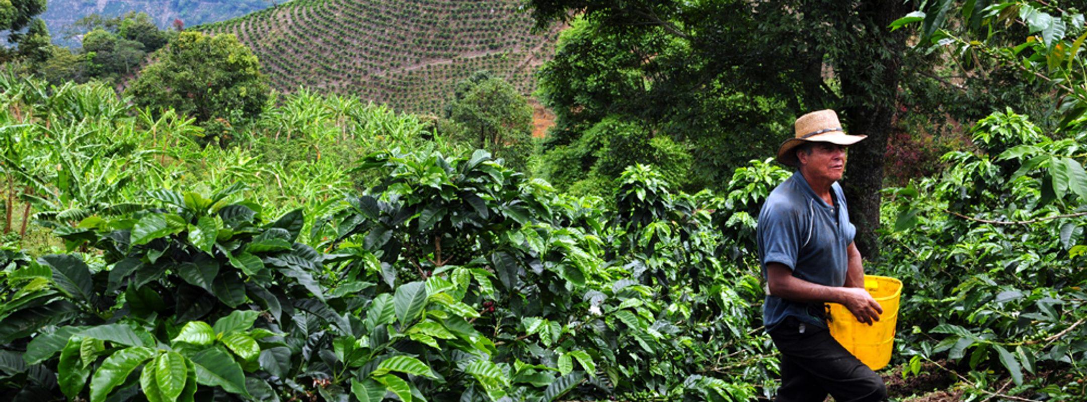
Looking at the commodities included under the EUDR, spatially explicit crop maps exist for soy and pasture in South America, palm oil across the tropics, cocoa in Ghana and Côte d’Ivoire, and rubber in South-East Asia and China. This leaves important gaps across many producer regions and commodities such as coffee. DeDuCE demonstrates how these gaps can be overcome using best-available agricultural statistics and land-balance models, where forest loss is attributed across expanding crops, pasture and managed forest plantations based on their area increase, but capped at total estimated forest loss in the region. Nevertheless, we have less confidence in the accuracy of the data in these places. This highlights the importance of understanding the different data quality and associated data limitations for each commodity and country in interpreting and using global scale datasets such as DeDuCE.
Investments in open, accurate, spatially explicit data for key forest-risk commodities are needed to improve estimates of commodity deforestation, whether it be in new maps (e.g. for coffee and pasture, currently being addressed by Global Pasture Watch), or improvements, expansion and continued provision of existing maps (e.g. for rubber and distinguishing between natural forests and forest plantations). The DeDuCE data also shows that general land-use maps, together with subnational agricultural statistics can go a long way in providing spatial data on commodity-driven deforestation. Improving access to higher resolution national agricultural statistics data such as through initiatives like the Global Subnational Agricultural Production (GSAP) can also help overcome existing spatial data gaps.
4. Flexibility to integrate new data is critical in rapidly changing data landscape
The commodity deforestation data space is expanding quickly, as exemplified by the release of several more spatially explicit commodity maps since DeDuCE was finalised in April 2024, includinga global map of palm oil and a land-cover map for Côte d’Ivoire. Improvements in data generated by these advances can lead to substantive changes in risk-assessment results. It is therefore essential to design flexible data systems that can integrate new data sources and can utilise the best-available data across different regions and commodities. This is a key strength of DeDuCE, which can utilise data of different types and quality, from spatially explicit to subnational statistics, and can be regularly updated. Similarly, risk-assessment processes need to be agile enough to reflect changes in the actual risk profiles of commodities which themselves can change due to new incentives. In using risk-benchmarking systems, the implications of this rapidly changing data landscape and the potential implications of changing risk classifications need to be recognised.
5. Data alignment remains a challenge between different deforestation policies, regulations and data products
There is a data alignment and harmonisation challenge between existing data products on deforestation, and the definition and scope of new regulations and voluntary commitments on deforestation and conversion. For example, existing forest and deforestation data products, including Global Forest Watch (GFW), MapBiomas and Tropical Moisture Forest (TMF) do not align with the definition of forests (and therefore of deforestation) in the EUDR, which is based on the definition used by the Food and Agriculture Organization (FAO). This challenge is exemplified by the Joint Research Centre (JRC) basemap of global forest cover for the EU Observatory which combines many existing datasets to create a hybrid basemap of forests at the EUDR cut-off date that, while a useful starting point, has many accuracy issues. There are also gaps in data availability on the conversion of non-forest ecosystems which are included in voluntary deforestation commitments such as the CGF Forest Positive Coalition, and which are also to be considered for inclusion in the EUDR.
Better communication and mapping of data alignment gaps and challenges is needed to enable policymakers, companies and civil society to interpret and use data appropriately. This could include clarifications of alignment and how a dataset can and cannot be used as set out by GFW with regard to the EUDR. The versatility of the DeDuCE model allows for adjustments of key parameters, such as forest and deforestation criterias, including changes to canopy cover density and extent of disturbances, which enables stakeholders to align with current deforestation monitoring policies.
6. More effort is needed to support users to interpret the results of different datasets and models and why the results may differ
While it is clear that more spatially explicit data on commodity deforestation is needed to more accurately assess direct deforestation drivers (see insight three), it is important to understand what this data captures and what it does not. For example, while deforestation from cattle-pasture expansion is the dominant direct driver of deforestation in Brazil, this obscuresthe more systemic view of the dynamics across multiple crops which shows that the pasture area across Brazil is stable over time, and that soy, sugarcane and timber are the drivers of agricultural expansion that are pushing cattle pasture into forest areas. Understanding these dynamics is critical to designing interventions that address the underlying as well as direct drivers. This example highlights both the importance of data harmonisation (insight five) and the need for better support to stakeholders on interpreting the data and understanding why it produces the results it does and its implications.
Building on these insights, Trase intends to help make sense of the current data landscape by clarifying where investment in data is needed and where there are gaps in alignment and harmonisation across datasets, data products and policies. In our role as an open-data provider, we will also work to ensure our own data is developed to maximise impact and utility. In future, we will increase our focus on using the data to evaluate gaps and opportunities in current interventions, address shortfalls in critical knowledge and monitor progress towards addressing commodity deforestation.


